
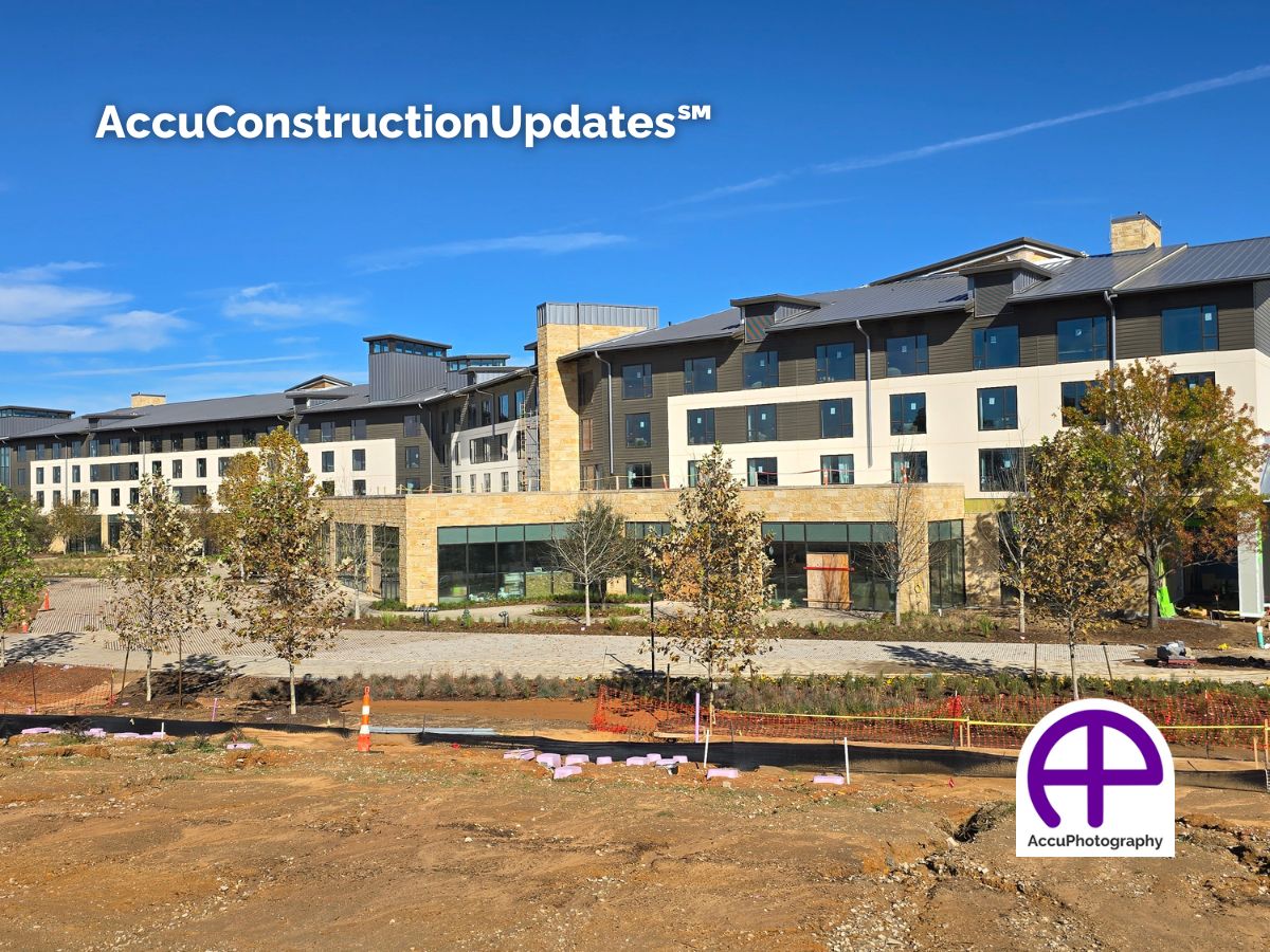
Construction Updates
What is Construction Updates?
Why is Construction Updates Needed?
Benefits of Construction Updates
- Verified Accountability: Timestamped, geotagged files create defensible documentation
- Faster Approvals and Fewer Delays: Clear visuals accelerate RFIs, change orders, and inspections
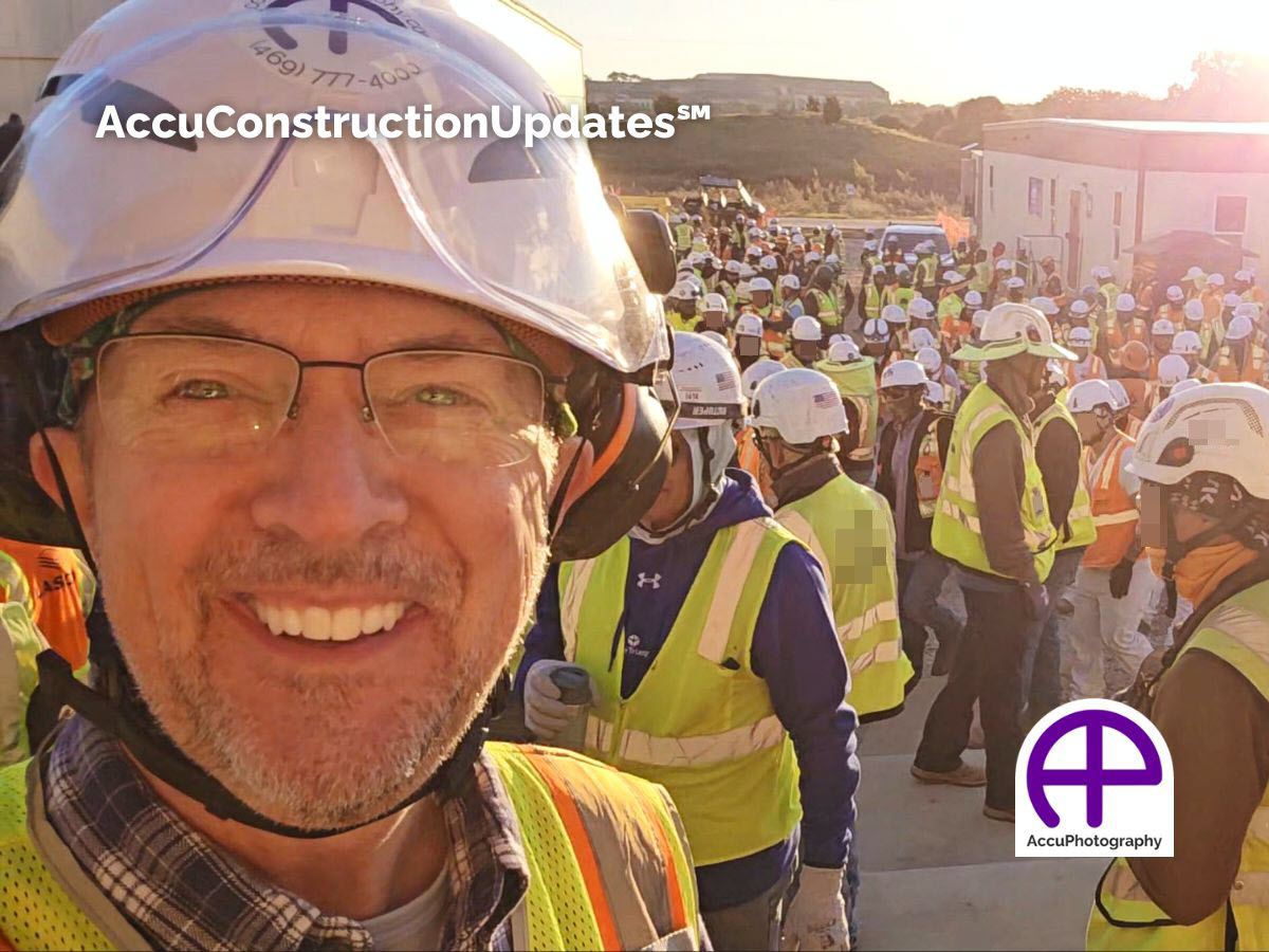
- Stakeholder Confidence: Share immersive 360° views and time‑lapse clips that tell the full story
- Cost and Time Savings: Fewer on‑site walkthroughs and less back‑and‑forth
- Marketing‑Ready Assets: Curated clips and selects you can publish to listings, socials, and investor updates
- Scalable and Consistent: Weekly, bi‑weekly, or milestone-based schedules with identical vantage points for apples‑to‑apples comparisons
FAQs About Construction Updates
How often do I get updates?
We recommend weekly or bi-weekly AccuConstructionUpdates to keep track of major milestones, but we can customize the schedule to your project’s pace.
Do I need to be on-site during the visit?
Not at all. As long as we have site access (gate codes, etc.), we capture the data and upload it to your portal while you stay focused on your business.
Can these images be used for marketing?
Absolutely. High-resolution photos and videos are perfect for social media reels to build hype before the project is even finished.
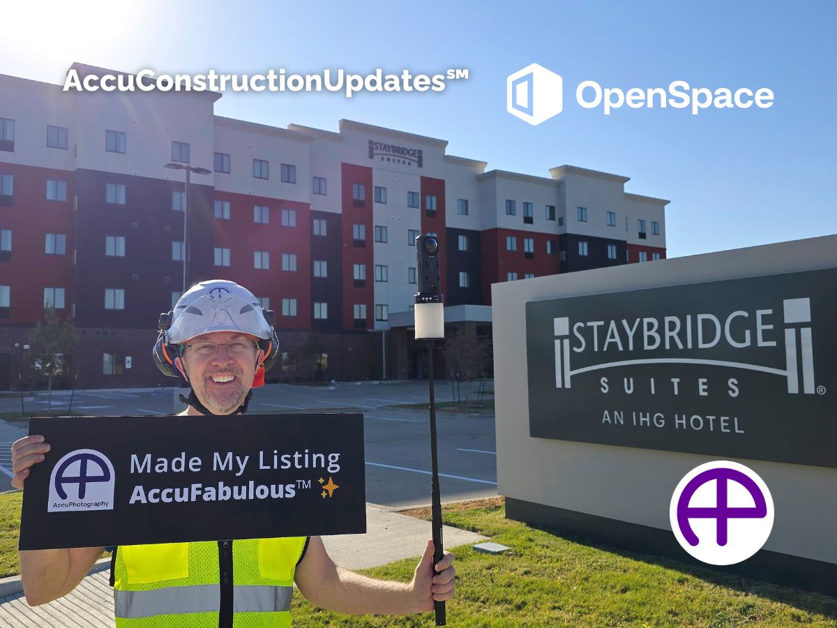
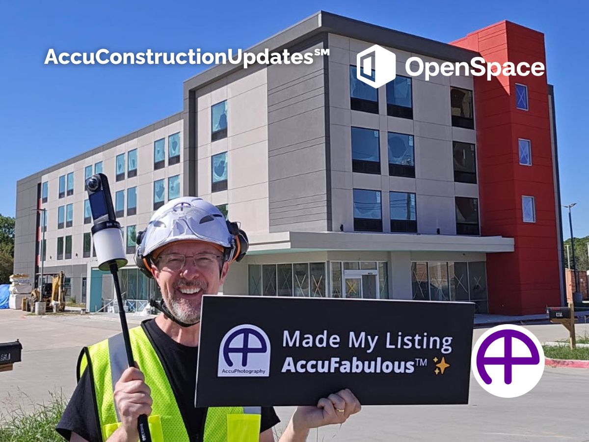
What construction documentation platforms do you support?
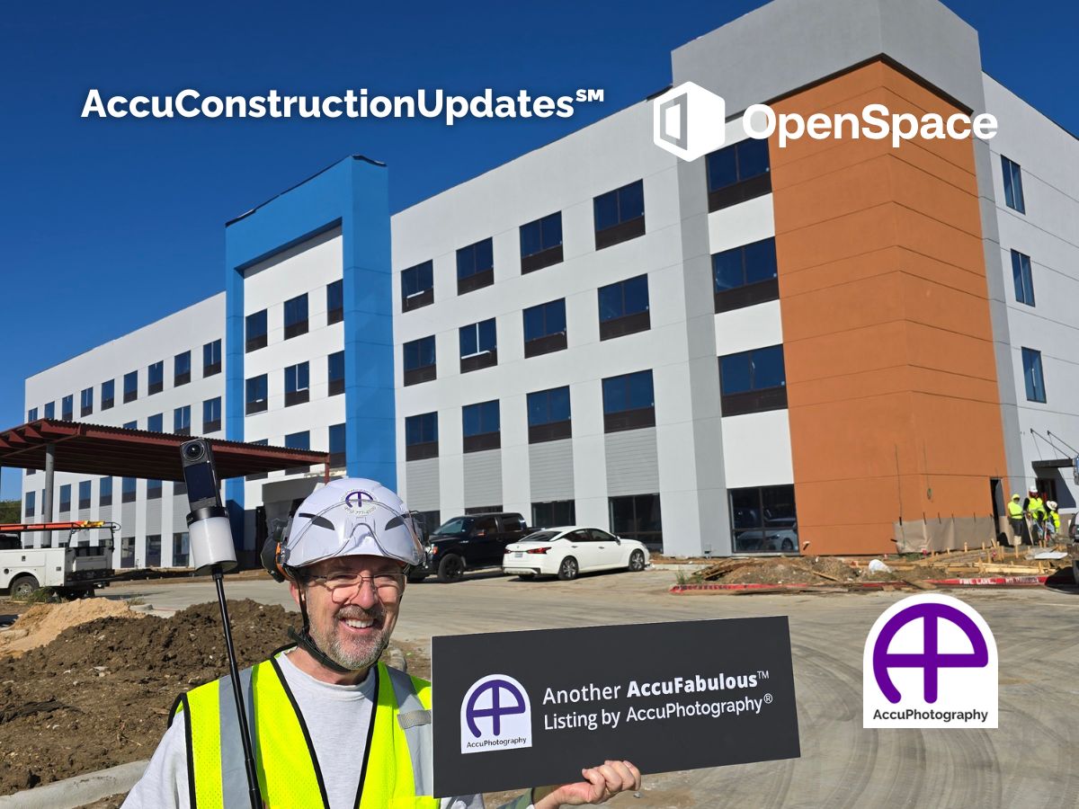
We are platform-agnostic and highly experienced with industry leaders like Buildots and OpenSpace. If your firm already uses these enterprise tools, we integrate seamlessly into your workflow for data capture. If you don’t use a specific platform, we can host the 360° virtual tours for you, providing a simple, shareable link for you and your stakeholders.
Do I need to provide the software for the virtual tours?
It depends on your needs. For large commercial projects, we are trained to capture for platforms like Buildots and OpenSpace (using your project license). For smaller developments or residential builds, we provide our own cloud-based viewing solutions included in the AccuConstructionUpdates service.
What equipment do you use to capture site data?
We use platform-specific hardware to ensure the highest data accuracy. For Buildots projects, we utilize GoPro rigs; for OpenSpace, we rely on Insta360 technology. Crucially, we equip all our capture rigs with professional Halo lighting systems to ensure crystal-clear visibility, even in unlit framing or drywall stages.
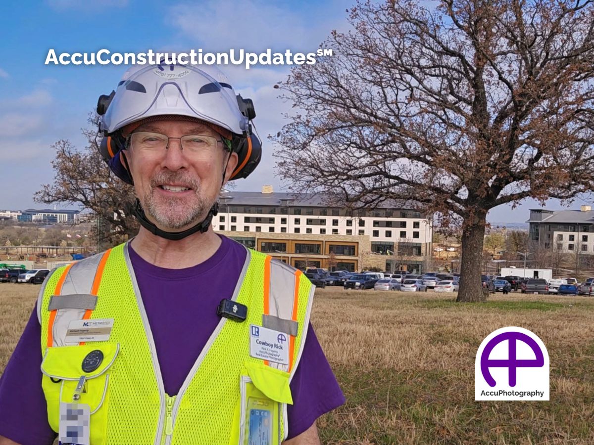
Can you provide aerial construction updates?
Yes. Rick A. Fogerty is an FAA Part 107 Certified Drone Pilot carrying full commercial flight insurance. We can capture aerial site maps and progress videos. If your documentation platform (like Buildots or OpenSpace) supports aerial data, we can fly the mission to feed that pipeline, or simply provide standalone high-resolution aerials for your stakeholders.
Ready to Streamline Your Commercial Portfolio?
From ground-breaking documentation to high-end marketing collateral, AccuPhotography delivers the visual intelligence developers and GCs rely on. Whether you need risk-mitigating site monitoring or portfolio-grade architectural imagery, we ensure your projects are documented with precision and showcased with style.